The photo below was taken from Broad River Road (West side of
river) just before today's bridge
The next photo is taken about 100 feet down this road and looking
back up to Broad River Road.
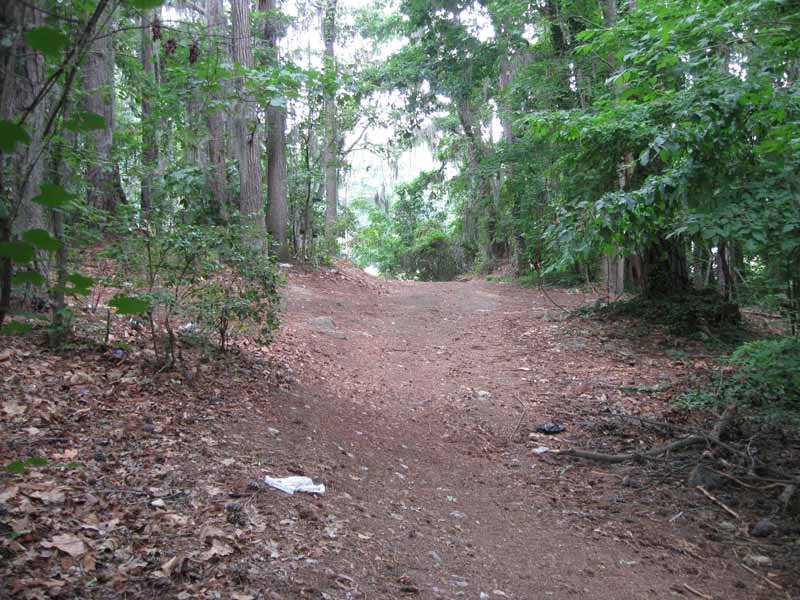
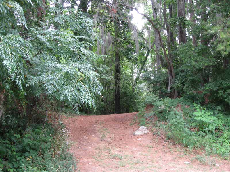
This is the point where the road curves to the left (as seen
in the next photo) and drops down. You can see this road is
nicely cleared. Probably kept that way by local fishermen and
also maybe because the road is very old and compacted to the
point where not much can grow in it. In the photo, you can see
some very old gravel still in the road bed.
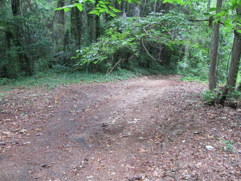
At this same point, there is a level area and straight ahead
(facing the river) is a ledge with a steep drop. Seemed like
a great place for a bridge and I was lined up with those other
points (east abutment, embankment rocks, and river hooks). After
taking GPS readings of this point and checking this with GIS
data, I determined that the elevation of this point (top of
bridge) is 164'. This is exactly the same as the Castle Road
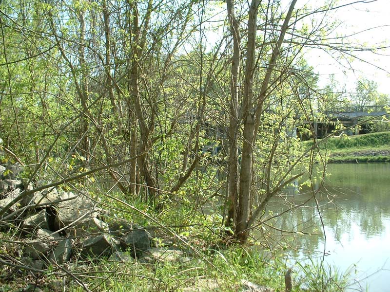
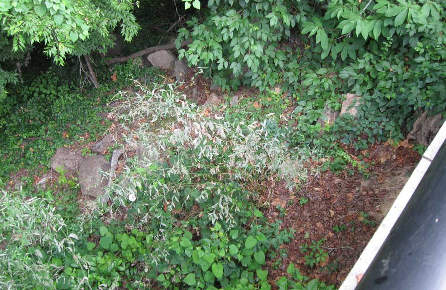
abutment. Below is a photo taken directly across the river on
today's canal embankment where the Three Rivers Greenway access
from the Broad River Bridge comes down to the canal embankment
sidewalk. This shows a large set of old abutment/pier type stones.
Using GPS and GIS again, the top of the stones are at exactly
164'.
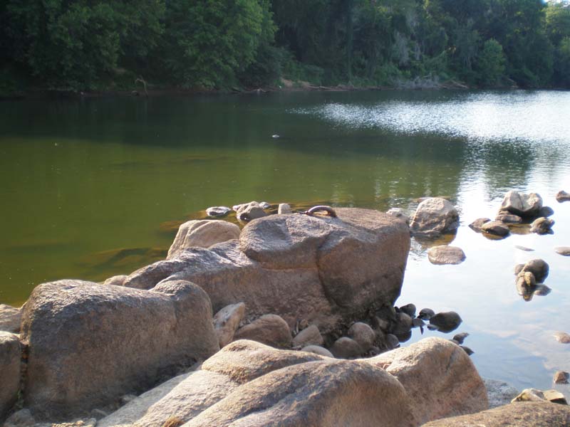
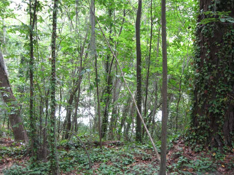
Back on the east side of the river, the next photo is a view
from the bridge-top looking out straight across the river.
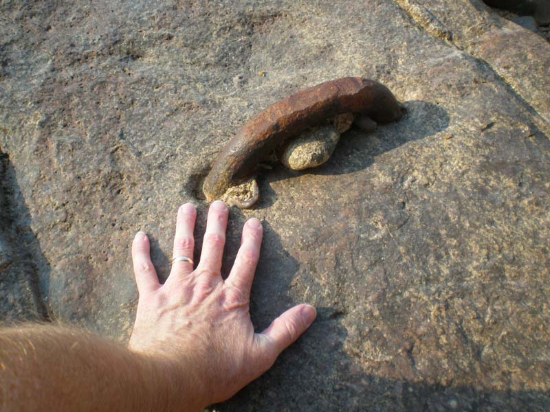
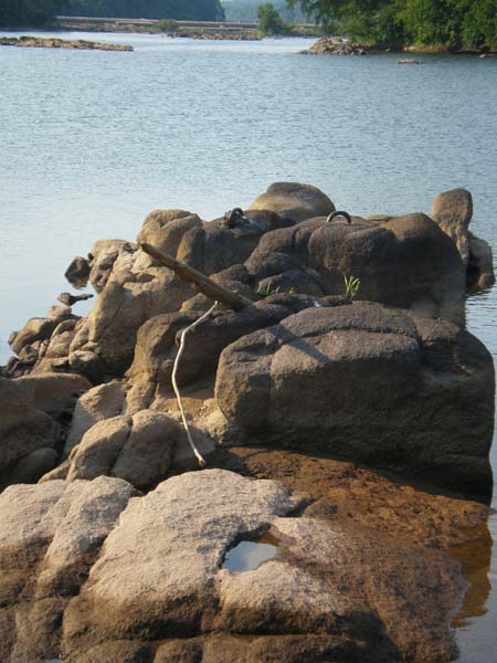
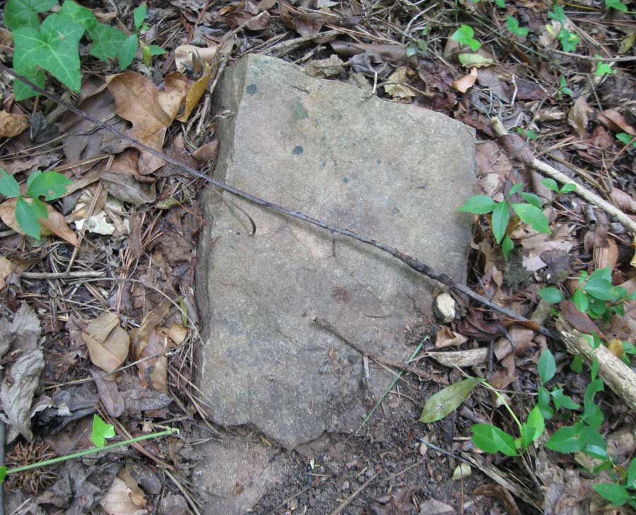
The next photo shows what looks like a cut stone that is at
the top of this possible bridge abutment.
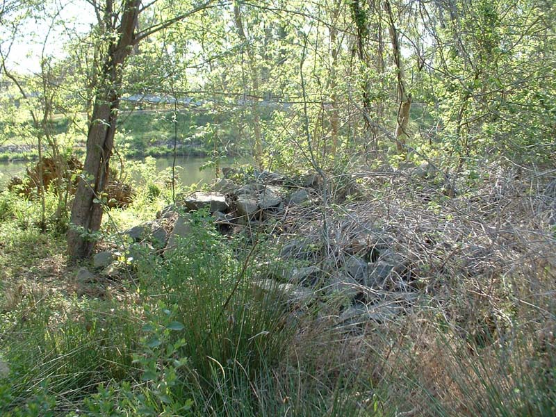
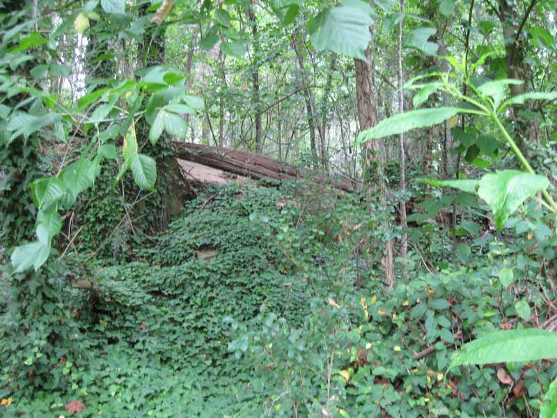
I then went to the area below the suspected bridge-top and
snapped the next picture. This is very similar to the abutment
at our site with odd shaped cut/blasted granite almost entirely
hidden by ivy. My camera and photography skills do not capture
the scene well but those are all stones under the ivy and I
believe this is the east abutment.
What also fits about the site is that the road continues down
where a ferry or pontoon crossing may have been possible. The
1870 survey shows a separate ferry road and it’s about 380 feet
above the bridge. My estimation of the distance between the
burned bridge and the pontoon bridge (from William Waud’s 1865
illustration) seemed to be about 100 yards which could fall
within the area where this old road traveled. 380 feet, however,
would require crossing a creek but this creek is not shown in
any map I've seen from the 1800s so it may have been created
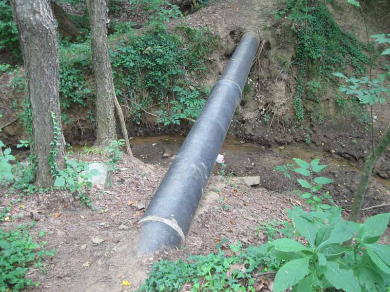
during 20th century development of the area. The following shows
an exposed sewer pipe that crosses this creek. This sewer line
was installed just prior to the development of the nearby apartments.
This development may have created the run-off that formed this
creek and what, eventually, exposed the pipe. Again, the main
point is to show that this creek was probably not here in 1865
and that the old road may have continued on up to where the
ferry is shown in the 1870 survey.
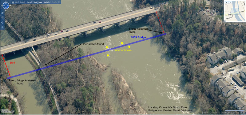
The following picture (taken looking downstream to the south)
shows an aerial view with the bridge crossing shown in blue.
This is based on the site evidence which agrees with the relative
position of the bridge to the canal lock as measured in both
the 1867 and 1870 surveys. Notice the yellow dots which show
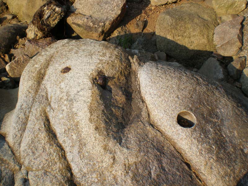
locations of the anchor hooks (shown in following photos).
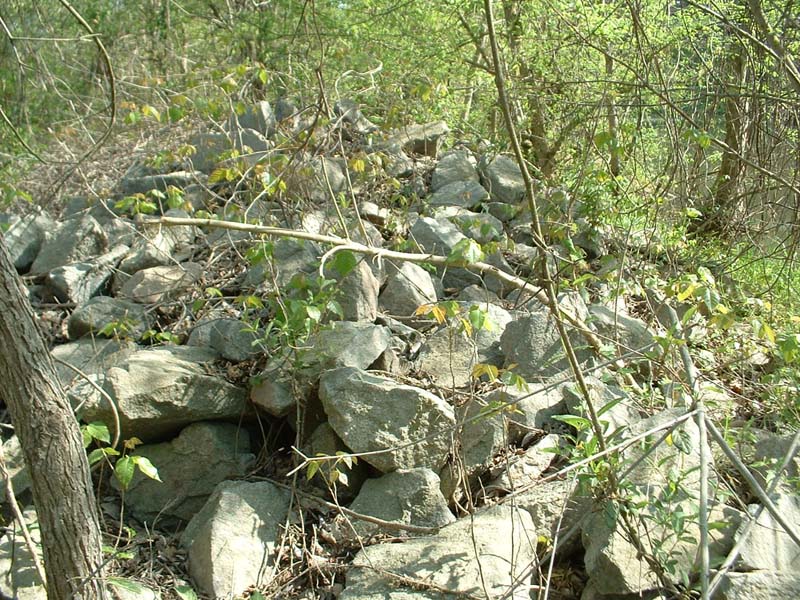
Below are photos of the possible remains of the east side abutment
and also photos of the iron anchor hooks that are found in the
river on each side of where the bridge would have crossed.